Norde Drone Solutions Ltd...
We are -
engineers, artists,
strategic thinkers
and problem solvers.
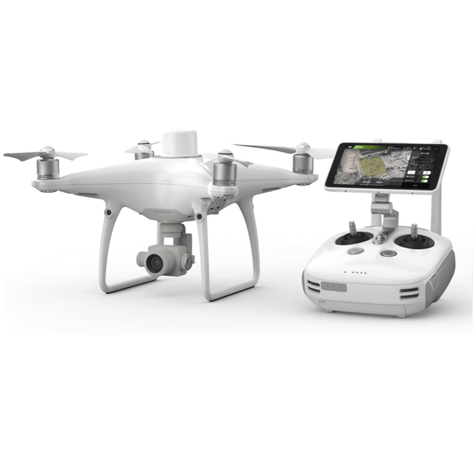
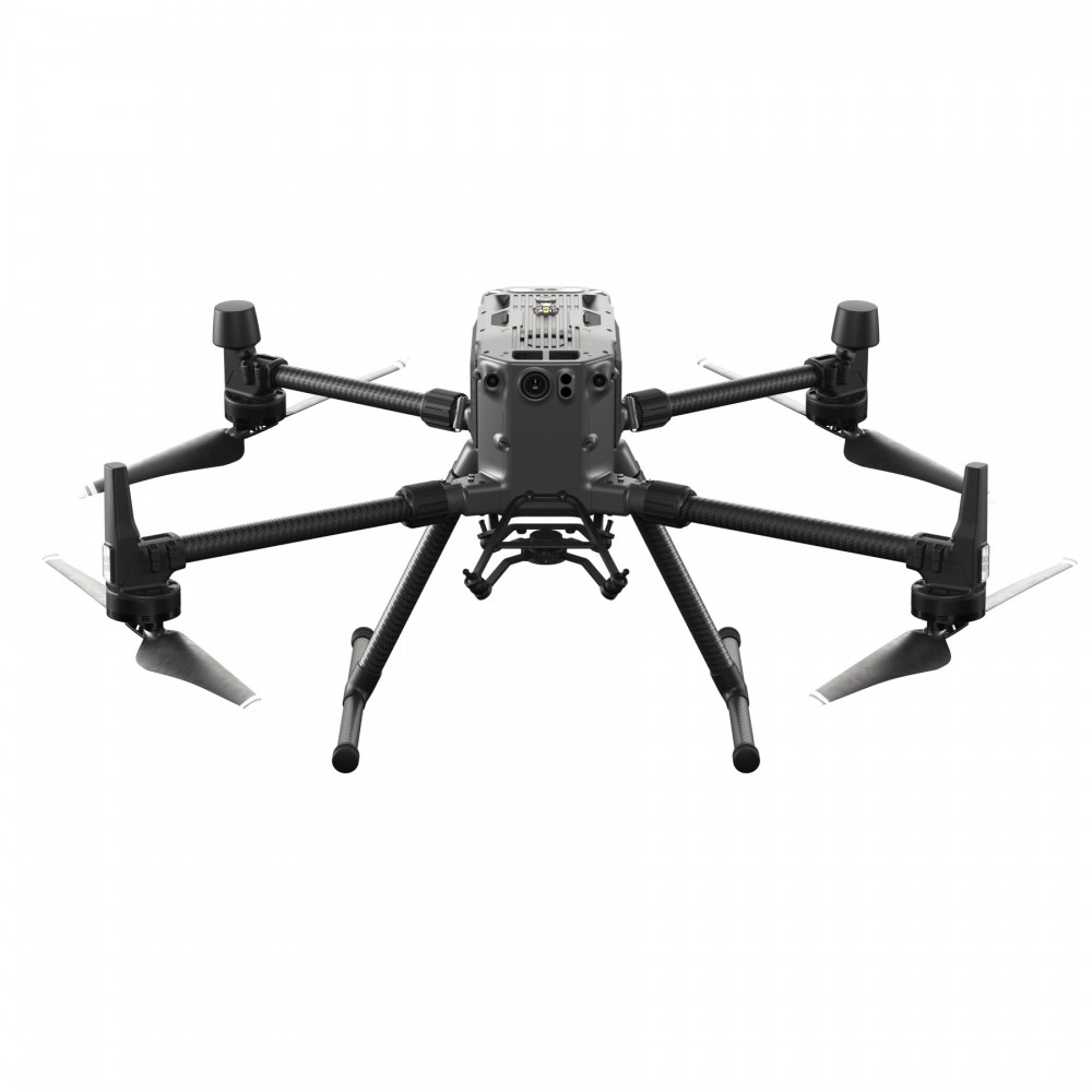
With combined experience of over sixty years in the planning, retail, financial services and construction industries we are fully CAA qualified UAV pilots who can get you the data and imagery you need for your project.
Myles M.
Drone Pilot / Director
Neil D.
Drone Pilot / Director
 Services
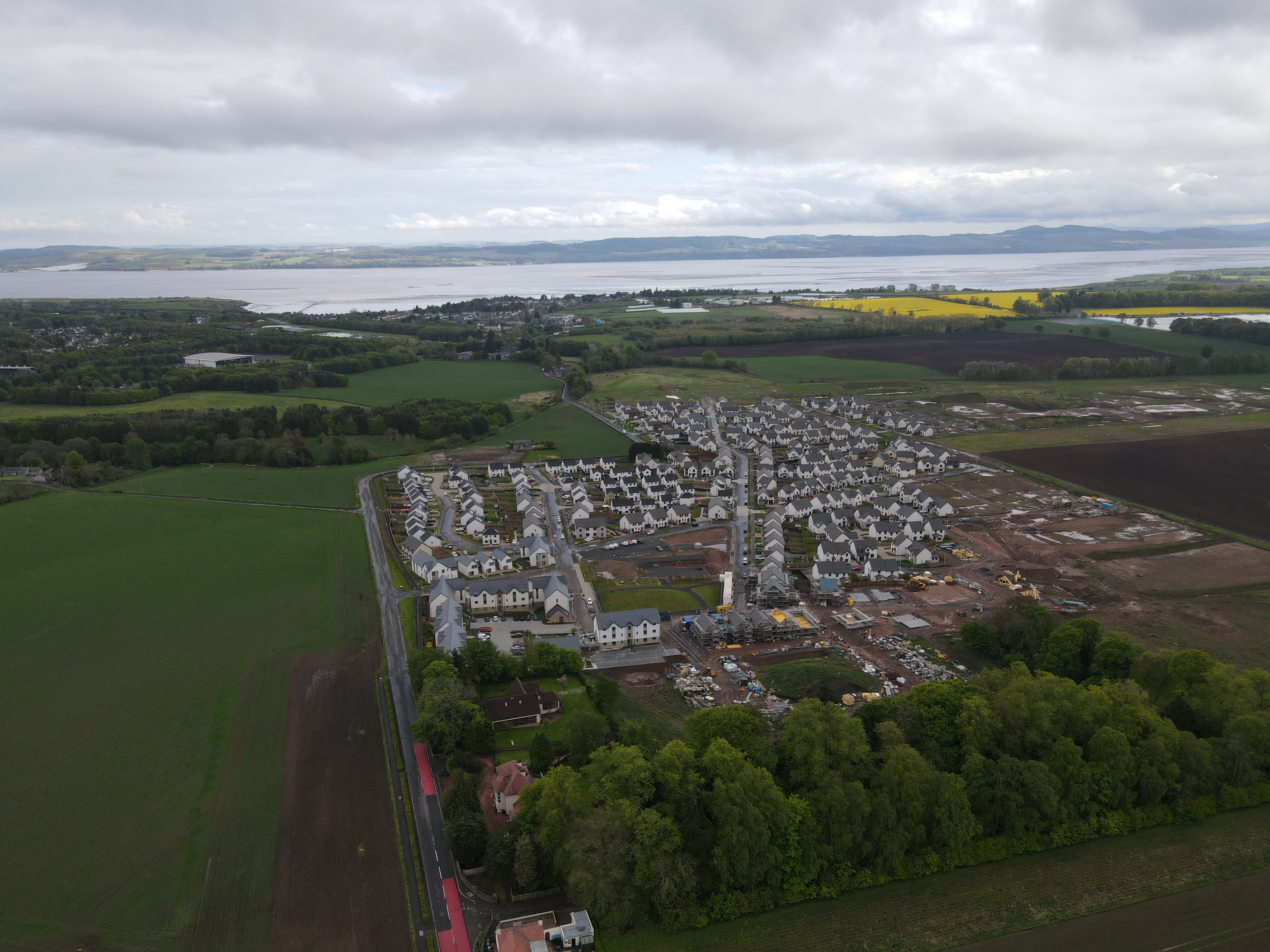
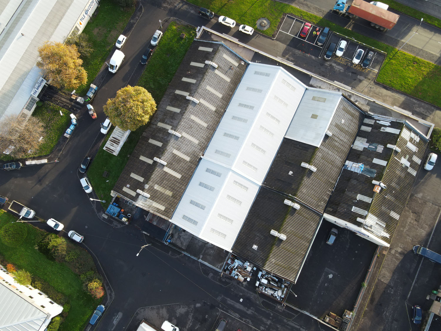
Aerial Surveys
Topographic Surveys and Mapping - high quality detailed 2D and 3D surveys of land and buildings. Ideal for masterplanning and architecture. LIDAR and Orthomosaic surveys. Point clouds of data available in various formats.
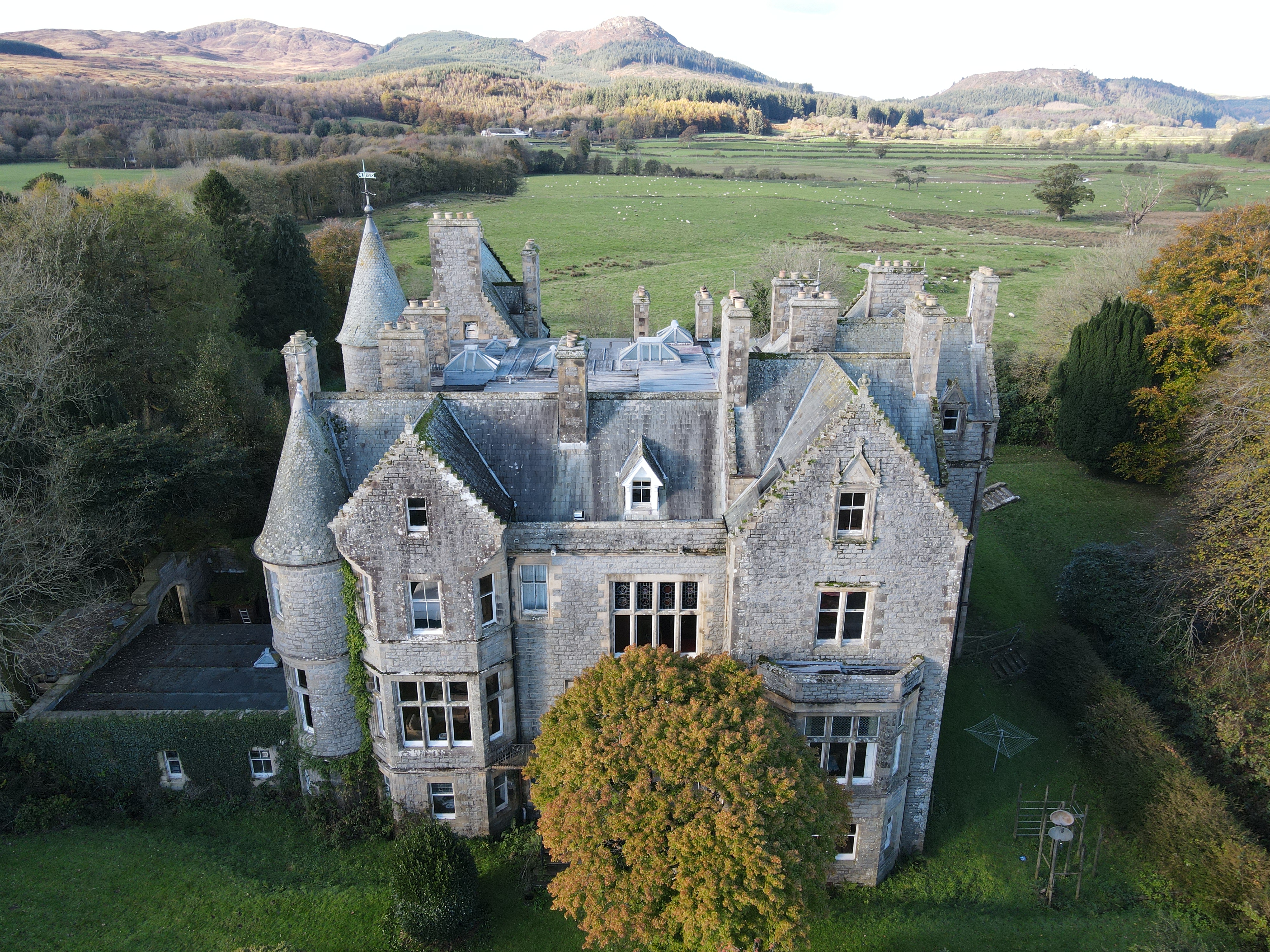
Aerial Photography
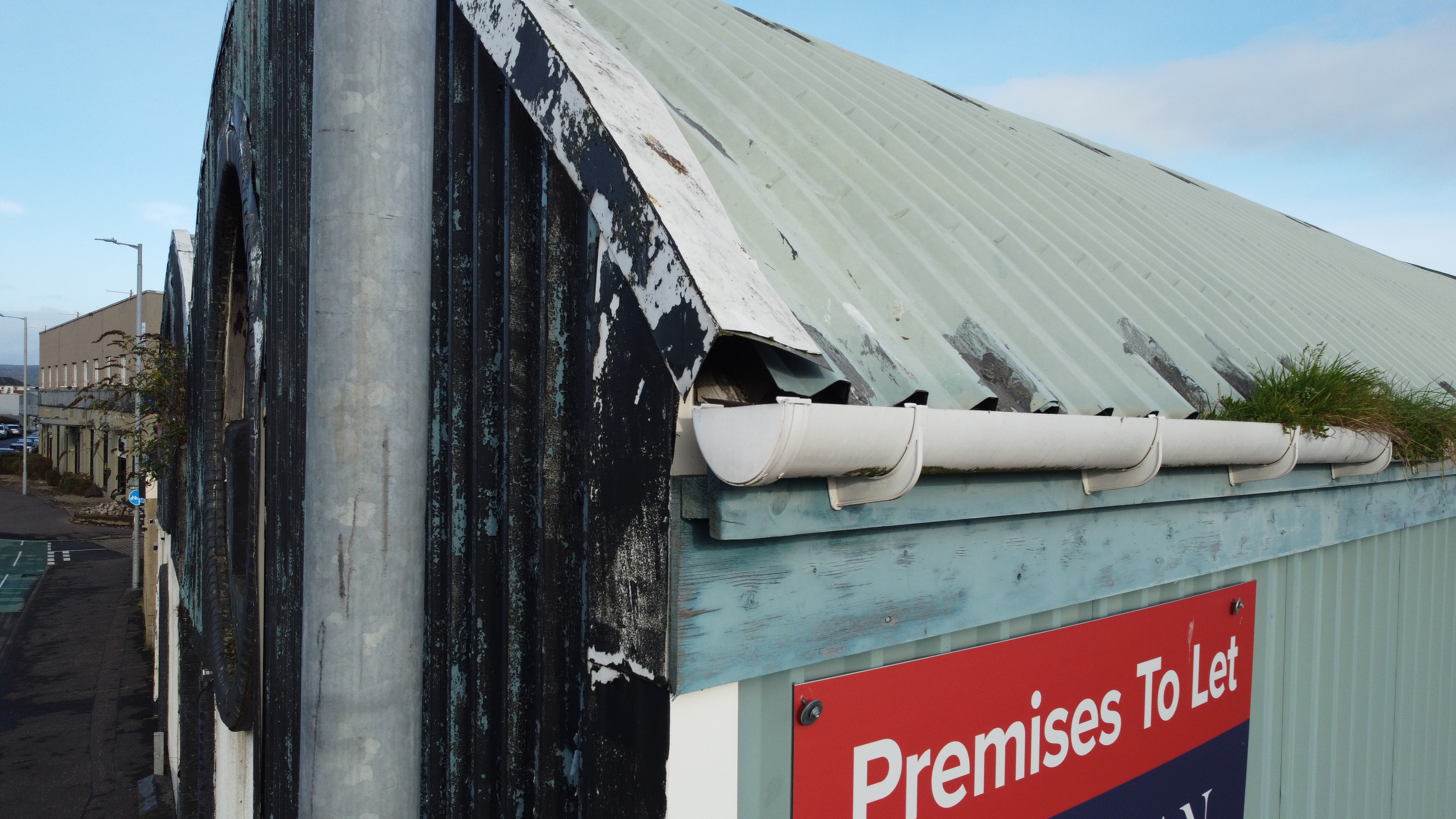
Aerial Inspection Services - inspections of roofs, buildings, estates and solar panels. We provide comprehensive inspections for a variety of sectors using top-quality imagery. Professional aerial photography and videography for property - Norde will take care of all photo and video editing to provide you with a completed product to enhance your project.
Photogrammetry
3D modelling / Land / building surveys - high quality detailed 2D and 3D surveys of land and buildings. 3D models and point clouds of buildings.
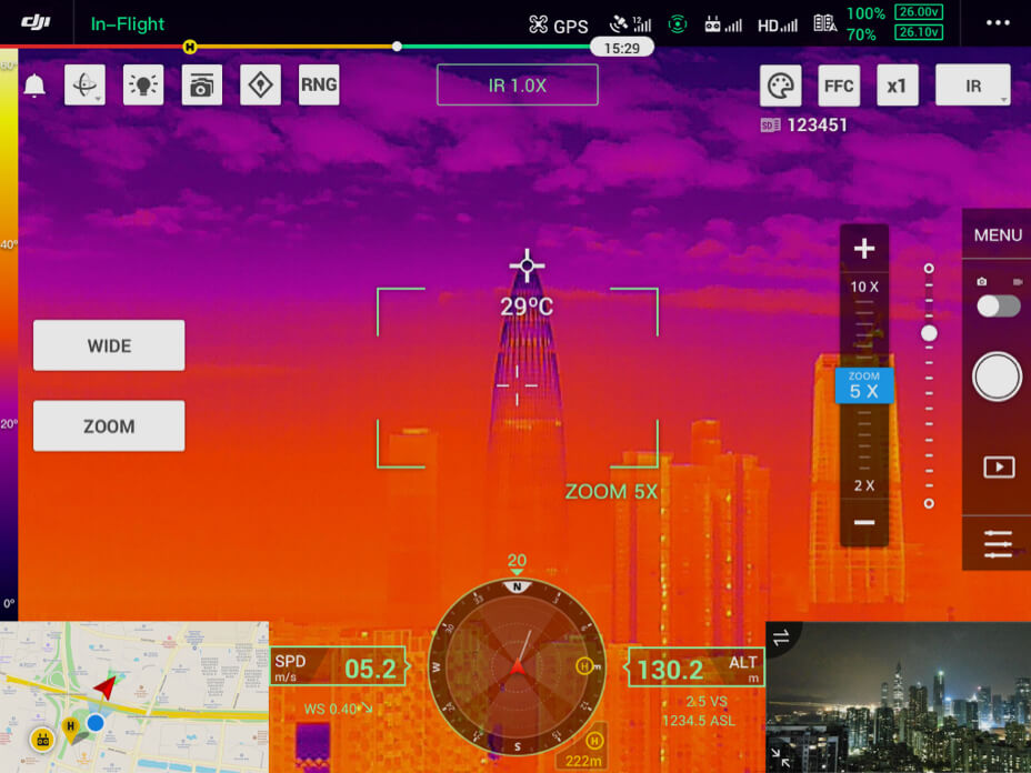
Environmental
Thermal Imaging - environmental assessments of building efficiency. Find out where your buildings are leaking heat. Identify potential sources of damp. Get in touch to find out more.